
11/4/2022
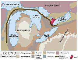
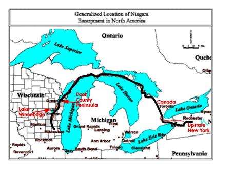
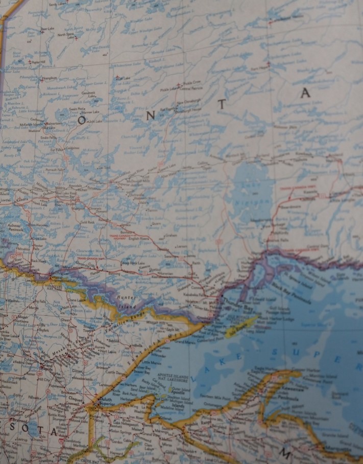
As the impactor’s main body crashed into the N.A. craton at a low angle, the forces drove deep into the earth and upset the static terrain immensely. As it drove down, the center component rebounded up and resolidified. Meanwhile, the crater dug out thousands of feet deep, and the perimeter walls were uplifted. Because of its trajectory, the crater is not round but rather oblong. The rebound core was not centered but shifted northwest, closing in on its northern perimeter crater wall. This explains the narrow, but deep (300+feet), Mackinaw Straight. It also explains the Niagara Escarpment that is visible on both the northwest and northeast sides of the Michigan/Huron crater. The northern portion has been completely eradicated by later glacier action as has a lot of other evidence. Glaciers, wind, and weather are earth’s history erasers. The limestone base has been pushed down and now resides beneath the waters of that massive Great Lake. Wisconsin, Northern Minnesota, and Western Ontario are peppered with thousands of lakes of varying size that owe their existence to both this impact and, later, glacier scouring. They are, in fact: debris fields with some having rocky outcrops or hills on their northwest banks. The Niagara Escarpment encircles 2/3 of northern half of the crater, as the western side in Wisconsin can easily be seen as a ridge looking east from 1 to 40 mile from the shoreline of Lake Michigan. It disappears below ground, south of Milwaukee suburbs. The entire region is peppered with limestone quarries and continues south. Driving on the 294 Interstate south of Chicago, the Thornton, Illinois quarry shows the immenseness of this limestone base, but below grade. The land creating Door County and Garden Peninsula, Michigan are remnants of this upthrust of the craters rim. On the other side, the Niagara Escarpment is the dividing line between Lake Huron and Georgian Bay, Ontario. It continues south through Hamilton. After that, it is visible as Niagara Falls.
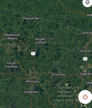
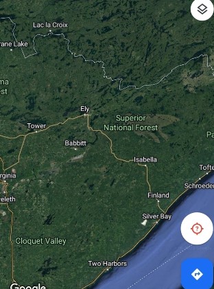
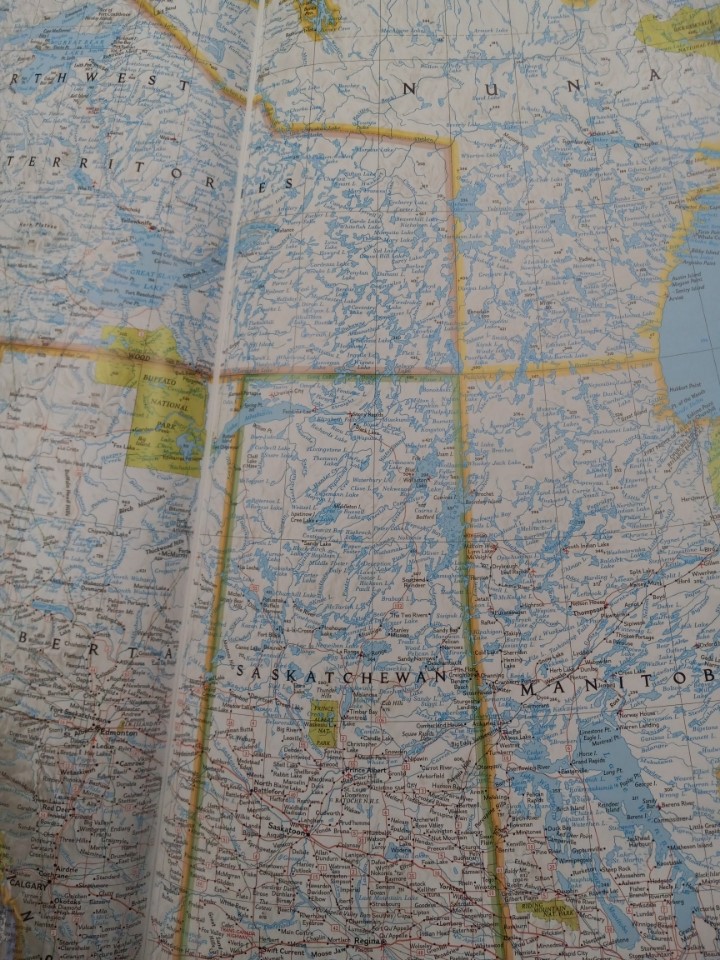
There are 250,000 lakes in Ontario, 100,000 lakes in Manitoba, 100,000 lakes in Saskatchewan, and 2 of the deepest lakes in North America in the Northwest Territories. Most of these are in a northwestern Arc beyond the Great Lakes. Some of these water structures may be part of a debris field from all the commotion of a meteorite impactor site in present day Michigan and the atmospheric breakup of a large foreign body. No where in the world, including Siberia, is there such a concentration of lakes in a long arc.

