11/8/2022
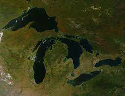
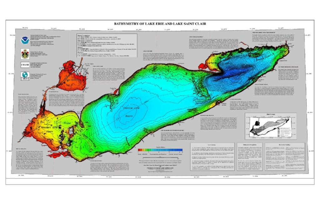
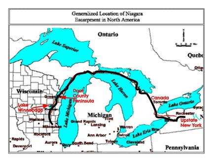
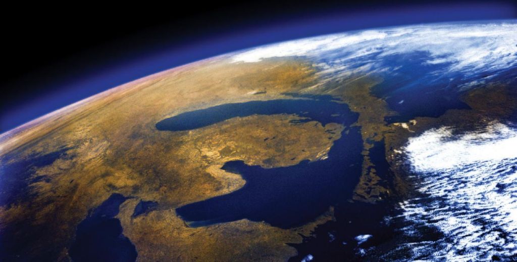
On the southern end of Lake M/H there is a loss of continuity in the crater ellipse. If one looks at shallow Lake Erie, the far western edge is the shallowest, while the east flowing water is deeper on that portion. If one examines the length and angle in relation to the latitude, you could theoretically slide it westward and it would complete the water filled crater at the southern end, making a complete framing of the enclosed crater similar to Lake Manicouagan. It is totally within the realm of possibilities that glacier debris conveyored by southward flowing glaciers filled in the old southern connection path of Lake M/H with its large CFM rates during the many glacier-melting years. Lake Erie now removes any rainfall in the Superior/Michigan/Huron drainage basin and sends it over the erosion resistant Niagara Escarpment at Niagara Falls. Lake Erie, in essence, is a giant reservoir held back by the encircled Niagara Escarpment that disappears below grade on the southern end due to the nature of that impactor’s shape, speed, and composition. However, on the far northern end, the Escarpment is absent because it met any glacier flows head on. Being of a limestone construction, the wall was at a 90°angle to any glacier advancement from the south shores of Rift Lake Superior. The current minor elevation difference between Lakes Superior and M/H would have assisted the glaciers to attack this soft wall, head on with a strength similar to marble (a number of 3-4 on a increasing scale up to 10 with granite being 6-8). Thus, its absence on the North end today could be explained. Looking down the west side of Lake Michigan or the east side of Lake Huron, the Escarpment can be seen with elevations of nearly 100′ above the terrain. There are sporadic breaks where the glaciers have broken through but, for the most part, the direction of the Escarpment is parallel to the glacier flow. The glaciers just moved on both sides of them acting as huge, yet fluid, lateral supports.